Colombia
HQ Barranquilla
Vía 40 69 111 edificio terpel
10.9878, -74.7889
We are a Colombian consultancy specialised in multipurpose cadastre and geospatial data. For the last seven years we've helped local governments, federations and companies understand their territory better and collect taxes more fairly.
What we do
Mapping, platforms and consulting for governments and companies that need reliable information about their territory.
Multipurpose property updates, conservation, base depuration and team training under IGAC methodology.
Airborne LIDAR, high-resolution orthophoto, satellite imagery, 360° street view and digital twins for cities.
Land-use planning, socio-economic stratification, titling and territorial diagnostics for local governments.
Tax analytics, taxpayer base depuration and traceability for local business tax (ICA) revenue.
Our platforms
Trust
Local governments, federations and companies we've delivered cadastral and geospatial projects for.


Results
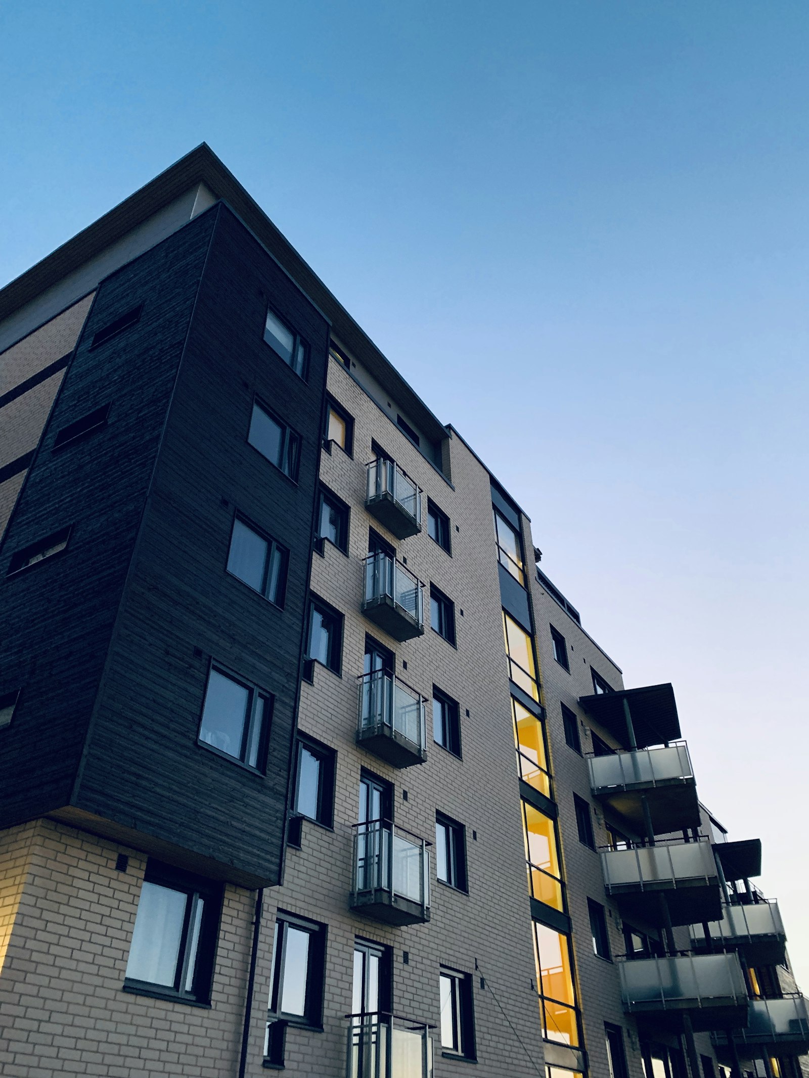
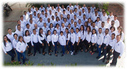
On site
Snapshots from real projects across Colombia, Spain and the Dominican Republic.


Presence
Headquartered in Barranquilla, with operations in Cali, Barcelona and Punta Cana.
Vía 40 69 111 edificio terpel
C/ Constitució 2, 2ª 1ª · 08970
Torres Inteplus, Ave. Balboa y Calle 27 Este · Piso 13, Ofic. 13C
FAQ
Let's work together
Tell us what you need and we'll get back within 24 hours with a scope, timeline and initial budget proposal.