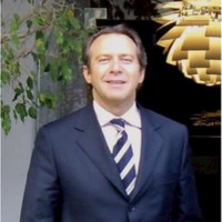
Sebastián Vives
Presidente y fundador
About us
Cinteli was founded in 2019 in Barranquilla. We're a team of cadastral engineers, geographers, urban planners and developers blending field work, mapping and software for governments and companies.
Mission
We work with public institutions, companies and communities so that cadastral information is reliable and useful. We care that the data is actually used: to collect fair taxes, plan neighbourhoods and title land.
We're a multidisciplinary team of cadastral engineers, geographers, urban planners, data scientists and developers. We are IGAC-certified and have run projects in Colombia, Spain and the Dominican Republic.
To become a reference geospatial consultancy in Latin America and a relevant player in the energy transition from graphite mining.
By the numbers
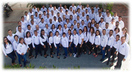
Team
More than 80 people across Barranquilla, Cali, Barcelona and Punta Cana. Surveyors, engineers, urban planners and developers working on real territorial projects.
Leadership
Presidente y fundador
Vicepresidente
Dirección comercial
Presence
Vía 40 69 111 edificio terpel
C/ Constitució 2, 2ª 1ª · 08970
Torres Inteplus, Ave. Balboa y Calle 27 Este · Piso 13, Ofic. 13C
Let's work together
Tell us what you need and we'll get back within 24 hours with a scope, timeline and initial budget proposal.