01
Territorial plans (POT)
Formulation, review and adjustment of POT, PBOT and EOT with a multipurpose and participatory approach.
Service · 03
Integrated tools for territorial planning, socioeconomic stratification and land titling, all based on reliable cadastral data.
Scope
Formulation, review and adjustment of POT, PBOT and EOT with a multipurpose and participatory approach.
DANE methodologies for urban and rural classification backed by rigorous cartography.
Formalisation of rural and urban property in coordination with ANT, SNR and local authorities.
Multivariate analysis to support public policy and investment projects.
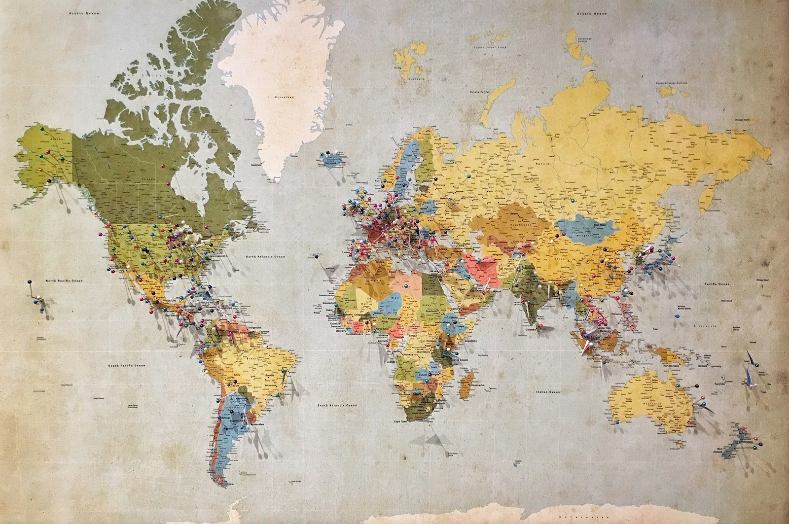
Risk, land use, environmental, equipment and public-service maps.
Technical and legal advice during implementation and conservation.
Regulatory framework
| Regulation | Scope | Project application |
|---|---|---|
| Law 388 of 1997 | Territorial planning | Overall structure of POT, PBOT and EOT. |
| Decree 1077 of 2015 | Single sector regulation | Procedure, minimum content and review. |
| Law 2294 of 2023 | National Development Plan | Agrarian reform and cadastre guidelines. |
| DANE Resolution 1058/22 | Urban stratification | Current classification methodology. |
| Law 160 of 1994 + Dec. 902/17 | Agrarian reform | Formalisation of rural property. |
How we work
Review of Law 388, current decrees and the municipality's specifics.
Integration with cadastre, DANE sources, ANT and official cartography.
Participatory construction of the technical support document and associated cartography.
Working table with CAR, the Territorial Planning Council and community before adoption.
Let's work together
Tell us what you need and we'll get back within 24 hours with a scope, timeline and initial budget proposal.