01
Airborne LIDAR
Dense point clouds for digital terrain models, volumetric analysis and engineering projects.
Service · 02
Capture, processing and publication of high-precision geospatial data: LIDAR, orthophoto, satellite, Street 360° and urban digital twins.

Scope
Dense point clouds for digital terrain models, volumetric analysis and engineering projects.
Drone and manned aircraft flights for precise, up-to-date coverage.
Agreements with very-high-resolution providers for wide coverage and multitemporal analysis.
Mobile urban capture with spherical cameras for road and street-furniture inventories.
Dynamic 3D models of the territory integrated with sensors and thematic information.
Automated photogrammetry, classification and delivery pipelines on OGC standards.
Capture types
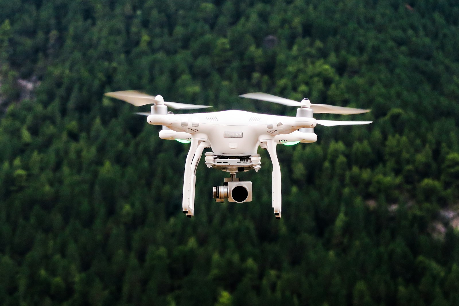
LIDAR sensor flights for dense point clouds, digital terrain models and volumetric analysis.

Drone and manned aircraft flights. Ideal for urban cadastre and detailed engineering projects.
Agreements with very-high-resolution providers. Ideal for large coverages and periodic monitoring.
Spherical cameras mounted on vehicles and dynamic 3D models published in an interactive web viewer.
Comparison
| Use case | Recommended method | Resolution | Lead time |
|---|---|---|---|
| Urban cadastre | Orthophoto + LIDAR | 5 cm/px | 4–8 wks |
| Wide rural cadastre | VHR satellite | 30 cm/px | 2–3 wks |
| Road inventory | Street 360° | 2 cm/px | 3–5 wks |
| Periodic monitoring | Multitemporal satellite | 50 cm/px | monthly |
| Urban digital twin | Orthophoto + LIDAR + Street | 5 cm/px | 8–12 wks |
Let's work together
Tell us what you need and we'll get back within 24 hours with a scope, timeline and initial budget proposal.